Alta Via delle Valli di Lanzo
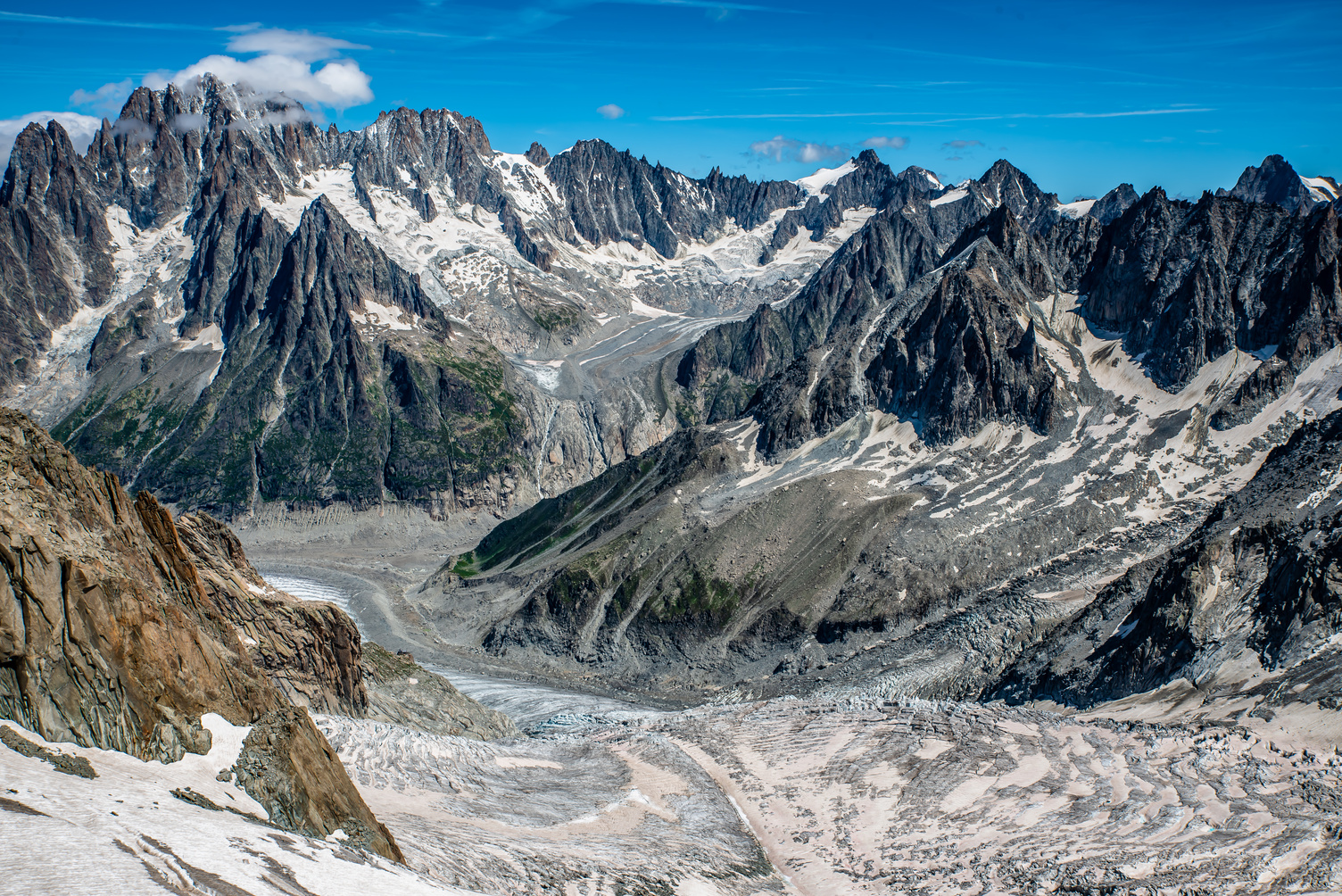
The Alta Via delle Valli di Lanzo (AVL) is a route for experienced hikers that crosses the Southern Graian Alps along the border between Italy and France, from the slopes of the Eastern Levanna to Rocciamelone. Approximately 47 km long (52 with the variant to the Col de la Piccola), divided into six stages, the route is mainly on marked trails, with some exposed sections and severe alpine conditions. While it does not require advanced mountaineering skills, it is classified as EE (Experienced Hikers). Proper preparation, suitable equipment and good physical training are required. The route can be started from Forno Alpi Graie in the north or from Malciaussia in the south, with opportunities to break the journey through downstream connections, especially midway at Pian della Mussa. Staging posts are in summer shelters and some bivouacs that are always open. The best time to tackle AVL is from late June to early September. The main starting points are Borgata Forno Alpi Graie to the north, Malciaussia to the south, and Pian della Mussa midway, all about 60 km from Turin.
- timer3 hours and 30 minutes
- trending_up1061 m
- trending_down0 m
From Forno Alpi Graie, in the small square at the end of the village, a wide dirt road begins on the right after the bridge crossing the Gura Stream. Continue on the orographic right bank and enter the forest (trail No. 315). After passing a steep rock face, the trail makes a few turns to the left. It then continues northwest again on moderate sloping terrain. Upon reaching a large characteristic boulder we lean to the left on grassy stoops and follow a ridge that touches a first group of huts. The trail continues behind the buildings, touches an isolated hut and slightly uphill, reaches a long plateau. Crossing a few streams, the trail approaches the Gura Stream (on the left, a side trail connects to Trail No. 316). We cross the two branches of the stream on provisional footbridges and in a wide semicircle, heading northwest, touch Gias Milon (1993 m). You pass buildings and head right (north) on a path that for a stretch is stone slabs, below a rampart. When you reach an altitude of 2120 m, you turn left, entering a long shelf where buildings of Gias Gran Pian (2132 m) stand. At the end of the shelf we turn right, climbing the steep grassy ridge where the Daviso Shelter is located.
- timer4 hours and 30 minutes
- trending_up750 m
- trending_down0 m
The trail starts from the Daviso Shelter and crosses a grassy slope with several streams and sheer drops to the Gura Stream. You arrive at the Ferreri Shelter and continue on trail No. 316, pay attention to exposed sections on ledges. After crossing a valley with the Rio Bramafam, follow a grassy ledge to a rocky hollow, then climb to the right past some rocks to reach another ledge. Continue to a wide gully to the Lose Pass (2866 m), from which you can admire the view. You descend to the south slope on trail no. 316 to the base of the rampart below the pass, then continue through scree, rocks and grassy slopes to Alpe Gias Piatou (2200 m). You take trail no. 308 that follows a grassy ridge to a fork: left down to the plateau with the Gias Nuovo bivouac.
- timer40 minutes
- trending_up190 m
- trending_down0 m
Taking the right fork at the junction near Alpe Gias Piatou (2200 m) with a few serpentines over steep terrain leads to Rifugio Soardi-Fassero as an alternative stop that will then require descending the next day to Gias Nuovo. After resting it will then be necessary to retrace one’s steps and descend to Gias Nuovo where the next stage starts.
- timer6 hours
- trending_up1040 m
- trending_down0 m
The route starts at Gias Nuovo and crosses the plateau to Alpe di Sea at 1785 meters. Crossing the creek on a bridge, follow trail no. 309 to the right. The trail climbs through low vegetation and continues eastward, avoiding Ometto Pass. From here begins a difficult and exposed section, where you need to be careful of possible rock detachments. In case of bad weather conditions, it is not recommended to walk this passage at the risk of water discharges and stones.
Afterwards, you take trail no. 310 on the moraine terrain, aiming for the base of the north slope of Punta Rossa. The trail leads onto a narrow ledge near a low overhanging drop. We continue across the wall with ups and downs, passing ridges and channels until we reach Sea’s Ghicet.
After crossing a gully and a ravine, you arrive at a pass at 2750 meters between Punta Rossa to the south and Sea’s Albaron to the north/west. You descend to the south/west following trail no. 226, keeping to the right of a scree channel where the Rio della Ciamarella flows. After crossing the canal, you reach the picturesque Piano della Ciamarella and continue to the City of Ciriè Refuge at 1860 meters, passing the mountain pasture of the same name.
- timer5 hours
- trending_up1467 m
- trending_down0 m
Starting from Gias Nuovo, walk all the way down the long plateau; descend through low vegetation and reach Alpe di Sea (mt. 1785) 1.30 hrs. Cross the creek on a bridge and head right (trail 309); follow a trail uphill through low vegetation. Continue uphill halfway up the hillside, heading east, and follow the trail that climbs to the left toward Ometto Pass. Reaching the pass, we undertake the descent that soon reaches the Molino bivouac where it is possible to stop to divide the variant stage into two days.
- timer6 hours and 30 minutes
- trending_up1353 m
- trending_down0 m
The route starts from the hut and crosses a dirt road, crosses a wooden bridge over the Stura and passes by Alpe Venoni. Trail no. 222 climbs through the Goat Canal and reaches the Pian dei Morti, offering panoramic views. After leaving the trail no. 223, you pass a rocky ledge and arrive at the Gastaldi Shelter. From here, trail no. 222 descends south, crosses the Rio Arnas and ascends scree slopes, bypassing the Affinau Rock. You reach Collarin d’Arnas and continue south on trail no. 122, passing near Lake Collarin. You arrive at the San Camillo Bivouac and descend to Lake della Rossa. After crossing the ENEL dam, continue on trail no. 122, passing debris shelves and arriving at Altare Hill. From here we descend south/east through a gully of debris, passing near Pera Ciaval Upper Lake and finally arriving at Rifugio Cibrario at Località Pera Ciaval.
- timer5 hours and 30 minutes
- trending_up957 m
- trending_down0 m
The trail starts at Rifugio Cibrario and crosses small streams until it reaches Pian dei Sabbiunin following trail no. 122. From there, continue to the steep slope of boulders and stones, heading toward the Bertà Glacier and crossing a wide ridge of boulders. We proceed along the glacier, then descend to the small valley between Testa Sula and the Lera-Sulè Massif, finally arriving at the base of the slope that precedes the shelves of Col Sulè at 3063 meters above sea level. After crossing the opposite slope and a snowy, scree-strewn valley, follow a mule track that leads down the valley along trail no. 122, which then diverts to the Autaret Pass. Next, continue downhill on trail no. 111A along the steep slope of Punta Sulè, passing under a rocky wall and passing several small streams such as Rio Costan, Rio Avril, Rio del Fort and Rio Cavalla Nera. The trail climbs diagonally south, crosses a ridge and finally reaches Rifugio Tazzetti at Fons Rumour at 2642 meters above sea level.