Bessanese Tour
The Tour of Bessanese (TB) is an exciting circular route that winds through the majestic Southern Graian Alps, on the border between Italy and France, embracing the imposing Uja di Bessanese (3604 m) and the summit of the Red Cross (3566 m). With a total length of about 32 km, divided into three stages, this tour offers an unforgettable experience for experienced hikers, as it is mainly on well-marked trails, but in a severe alpine environment that requires adequate physical preparation and equipment.
Although the route has no significant mountaineering difficulties, it is classified as EE (Experienced Hikers) due to the harsh alpine environment in which it takes place, which can become particularly challenging in adverse weather conditions or with the presence of snow and fog. Therefore, it is essential to be properly equipped and trained to meet this challenge.
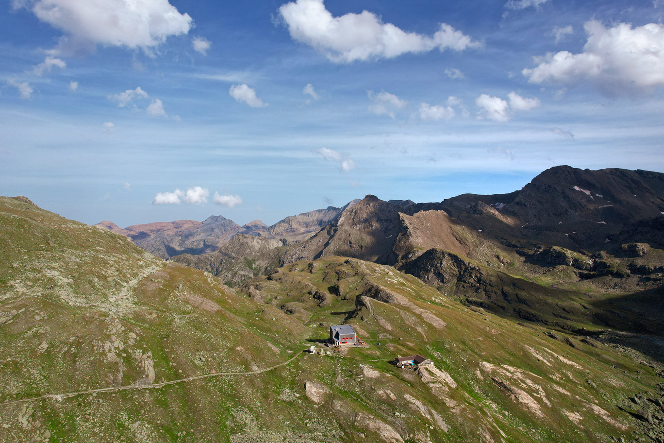
The tour can be started from any of the three refuges on the route (Rifugio d’Averole, Rifugio Gastaldi and Rifugio Cibrario), all of which have overnight facilities and are strategically located along the route. The shelters are open during the summer period and have winter rooms that are always accessible.
Although it is possible to complete the tour in either direction, we recommend following the route clockwise for a better experience. The optimal time to embark on this adventure is from late June to early September, when weather conditions are most favorable.
From the French side, the Refuge d’Averole can be reached from the municipality of Bessans/Averole (Haute Maurienne), while from the Italian side the Refuge Gastaldi can be accessed from the municipality of Balme (locality of Pian della Mussa) and the Refuge Cibrario from the municipality of Usseglio, both located in the Lanzo Valleys, about 50 km from Turin.
- timer4 hours
- trending_up550 m
- trending_down600 m
Follow the trail from Rifugio Gastaldi down to the exit of the Crot del Ciaussine basin, towards a small waterfall formed by the stream that descends from the basin below Cresta Del Fort. After crossing the stream, the trail ascends along the grassy, scree slope between the waterfall and the walls of Rocca Affinau. After a short climb, you come to the junction for Colle d’Arnas; the Tour trail ignores this indication and follows the left tracks that go around Rocca Affinau keeping to the gorge to its left. With a few steep turns, the trail leads to a basin where some small melt ponds are encountered. Upon reaching the steep debris slopes that close the basin, a short, well-marked trail climbs them with a diagonal leftward slope that leads directly to Collarin d’Arnas (2850 m). The trail descends over mounded rocks to Red Lake and its dam. Just before the dam, on the left side of the trail, you will encounter the St. Camillus Bivouac. After crossing the dam, follow the dirt road around the lake and then turn left. Ford a stream and resume the path on the left hydro side proceeding to the bottom of the basin. Climb a ramp that begins at the height of a small waterfall and leads by an easy path to Altare Hill (2962 m). From the pass, follow the trail that leads to a wide gully in which, keeping always on the right side and alternating falsoplanes with steep slopes, you descend to a plateau dotted with pools of water and bordered by Peraciaval Lake. The well-marked path crosses the plain and leads above the crag overlooking the Sabiunin Plateau, from where, a few steep switchbacks lead to the Cibrario Refuge.
- timer7 hours
- trending_up900 m
- trending_down1300 m
From the refuge, cross the Pian dei Sabiunin to reach the moraine where the steep trail begins, climbing 300 m up to the glacial basin of what was once the Bertà Glacier (2900 m). With a very slightly uphill path, you traverse the plain keeping close to the rocky crags that descend from Testa Sula. Some turns lead directly to Sulè Col (3073 m). From the pass the trail descends a steep slope and then continues on scree to an elevation of 2800 m where the trail is abandoned and climbs (marker post) to a melt pond. Having bypassed the puddle, continue on grassy stretches and by trail tracks until you cross an obvious military mule track. Go up the mule track to the right until you reach a small lake and the former Moise Shelter building. From the back of the building continue by obvious mule track to the eastern lakes, which are left a distance to the right. At the outfall of Autaret Lake, the trail from Malciaussia crosses. Continue on scree until you reach the Autaret Pass (3072 m). From the col, descend down the steep moraine front and continue halfway up the hillside until you cross the Torrent de la Lombard (2560 m). Continue along the orographic left bank to an elevation of 2450 m where, just before the Cabane des Bergers, the route turns right, abandoning the main trail to descend towards a footbridge that leads back to the right bank of the stream. Past the bridge, the trail climbs slightly to Pas de la Mule from which it descends back to Plan de Revallon in the direction of Refuge d’Averole. Going up the slope you cross the Col d’Arnès trail of which you walk the last few meters until you reach the hut.
- timer6 hours
- trending_up1100 m
- trending_down650 m
From the Refuge d’Avérole, ascend the grassy slope past the crag until you approach the orographic right of the Rio Ruisseau du Veillet. Continue to a prominent frontal moraine near which you cross the brook. The trail climbs up the moraine until it reaches a small crag of rocky steps (2850 m) where it resurfaces on the right bank of the stream. The crossing may require some care if the stream is swollen. The trail ascends the ridge on very steep moraine terrain until it reaches the basin overlooked by the remains of the Des Grandes Pareis Glacier. Here the trail disappears into the Clapier Blanc (3030 m). Looking in a northerly direction, a saddle can be seen behind which the summit part of the Albaron sprouts; to reach it, the route first continues slightly uphill to an elevation of 3100 m and then descends slightly into a basin in the direction of some shale crags. The trail then makes an arc leading toward the saddle (the markers, to be always visible, are sometimes placed very high on the boulders). Upon reaching the crags, the trail becomes visible again and climbs the slope to the left on a triangle. Markers lead to the ridge that skirts Punta Audras until it reaches Collerin Pass. Here the descent down the Italian side on a steep slope of unstable debris begins. The descent, in frozen or mixed snow, can be challenging, so proper equipment (ice axe and crampons) is recommended. The steep gully descends about 200 meters and leads to the Pian Gias glacier (3,000 m). With proper care it is possible to advance without crampons on this glacier that is not too steep and mostly covered with debris always paying, especially in foggy weather, close attention to the markers on the boulders. The descent trail continues down the center of the slope keeping to the orographic right of the stream emerging from the glacier until it meets the boulders below the crest of the Russe Rocks (2800 m). Here it crosses the stream and flanks it, following the moraine downhill until it meets the trail markers for the Ciamarella where it crosses the stream again, returning to the right bank. Upon reaching the marker pole, the route abandons the trail that descends to Pian della Mussa and follows the track on the right that, with an up and down hillside trail in 30 minutes, leads to Rifugio Gastaldi.