High Way No. 1 Dolomiti
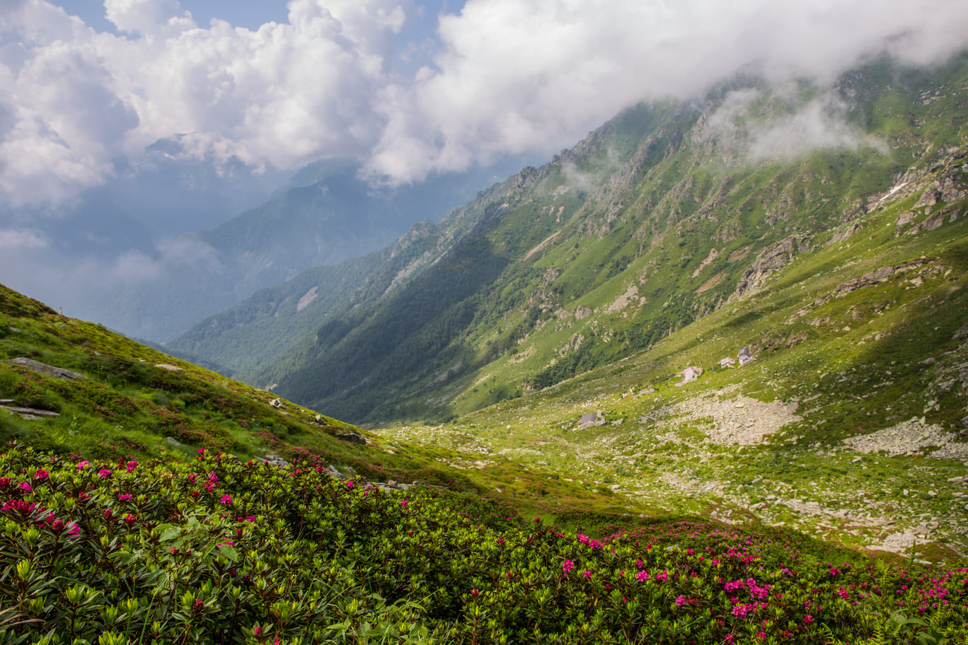
The Alta Via delle Dolomiti no. 1 runs from north to south along a route of about 125 km and 7,300 m of positive elevation gain.
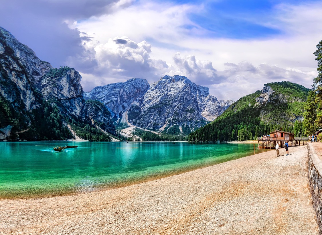
It starts from Lake Braies and ends in the city of Belluno, crossing the heart of the Dolomites, a UNESCO World Heritage Site.
The basic route is on trails that are not particularly challenging for a good hiker, moreover always equipped in the most difficult sections. Along the way there are numerous traditional huts and refuges to lean on as refreshment and overnight stops.
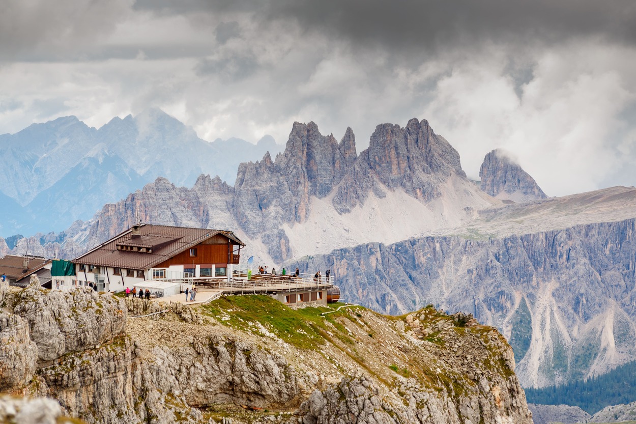
For the more experienced hikers, some alternatives to the classic route are offered, with variants consisting of more technical and challenging hikes because they take via ferrata routes or climb to touch the historical peaks of the various groups.
- timer3 hours and 30 minutes
- timer4 hours and 30 minutes - 5 hours
- timer5 hours
- timer5 hours
- timer3 hours
- timer3 hours and 30 minutes
- timer4 hours/4 hours and 30 minutes
- timer5 hours 30 minutes/6 hours
- timer5 hours/6 hours
- timer3 hours/3 hours and 30 minutes
- timer7 hours/8 hours
- timer4 hours/4 hours and 30 minutes