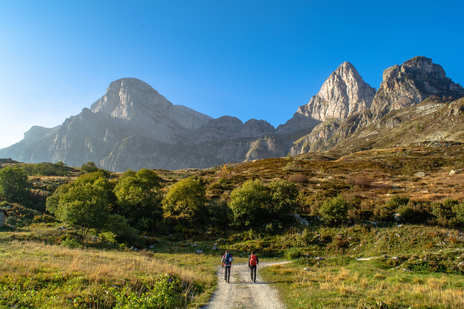
Marguareis tour
The Marguareis Tour is a loop trek that encircles the two main peaks of the Ligurian Alps. Organized in 2006 by the Alta Valle Pesio e Tanaro Nature Park together with local hut managers, it offers breathtaking views of karst, with vast pastures and vertical limestone walls. The main route consists of five stages nearly 54 kilometers long with over 3200 meters of elevation gain, but the many variations allow you to tailor the route to your needs, with options from two to five days. A popular stage is GM.07, unofficial but popular with those who complete the tour in three or two days, departing from Pian delle Gorre and using Itinerary 07.04 to quickly reach the Garelli Shelter in the afternoon. The best time to do the Marguareis Tour is from early July to mid-September. In mid-June, depending on the year, it is still possible to encounter snow on the passes while, consistent with the opening of facilities, there are usually no problems until early October.
- timer3 hours and 30 minutes
- trending_up1022 m
- trending_down88 m
Traverse from Serpentera Valley to Sestrera Valley, very varied and interesting, touching numerous Gias. Remarkable landscapes and views, including that of the North Face of the Marguareis, alternate along the way.
- timer2 hours
- trending_up286 m
- trending_down497 m
Quite varied and scenic stage, if quite short and easy. From the Pesio Valley we pass into the Ellero Valley through Porta Sestrera, which overlooks rounded expanses of meadows, and then descend to the Mondovì Refuge.
- timer4 hours/4 hours and 30 minutes
- trending_up641 m
- trending_down846 m
Uphill route that winds through alpine pastures and meadows, always on easy terrain. Evident traces of karst phenomena, from erosion due to runoff water to sinkholes, especially on the ascent to Saline Pass. Wilder is the descent, albeit for short stretches, and in particular the passage through the Saline Gorge. The last part of the stage, which is relaxing, winds halfway up the hillside through forests and pastures to the Mongioie Refuge.
- timer4 hours
- trending_up882 m
- trending_down353 m
For long stretch at low altitude, this stage can almost be considered “transfer”; yet there is no shortage of interesting elements, from the suspension bridge over the Vallone delle Fuse, to the beautiful hamlets of Carnino, where remarkable examples of alpine architecture can still be traced. Beyond the Chiusetta Gorge we return to high altitude, with typical views of a karst environment. Those who are well trained, and lucky enough to still find the sky clear of clouds, can end the day with a climb to Punta Marguareis, the highest peak in the Ligurian Alps.
- timer6 hours
- trending_up466 m
- trending_down1513 m
A long, varied and not overly strenuous stage closes the Marguareis Tour. At high altitude, one crosses undoubtedly fascinating karst environments, from Plan Ambreuge to the Conca delle Carsene, while the final part of the descent, after the Gias degli Arpi, takes place on an excellent mule track or convenient dirt road, in the woods and with slopes that are always moderate.
A striking variant, via Scarason Pass, reaches directly to Duke Pass from Plan Ambreuge, allowing the route to be shortened considerably. However, the trail is rather impassable, to be traveled with good visibility and dry ground.
- timer5 hours/5 hours and 45 minutu
- trending_up907 m
- trending_down1112 m
A long stage, across three hills and no less than three valleys, Ellero, Corsaglia and Tanaro. Although the ascent to Brignola Seirasso Pass is not always obvious, the view toward the Saline Peak is always majestic. Same goes for the spectacle offered by the northeast face of Mongioie, at the foot of which lies Lake Raschera. Steep but not overly strenuous final descent to the Mongioie Refuge.
- timer3 hours
- trending_up605 m
- trending_down492 m
A short, easy, interesting stage in which we go around the Marguareis Massif and cross as many as three valleys. From the expanses of meadows and pastures of Porta Sestrera we descend to the tiny yet picturesque Rataira Lake, with a unique menhir embedded near its shores. Across the Pas Pass we then access the striking karst basin of Piaggia Bella, home to the Flying Saracco Hut, a shelter used by cavers to explore the many caves that open in this area. The last ascent leads to the Don Barbera Refuge, located just a few meters from the Colle dei Signori and the French border. This stage is used by those who intend to complete the Marguareis Tour in three days with departure and arrival in Pian delle Gorre.