Ring of the Friulian Dolomites
Far from the crowded Dolomites, a real 5-day hiking raid through the wild valleys of the Pramaggiore, Monfalconi, Spalti di Toro and Cridola groups. The route touches the Giaf, Flaiban-Pacherini, Pordenone and Padua refuges, offering numerous possibilities for variations in difficulty and commitment, including mountaineering climbs to the peaks. It is recommended to make the traverse in a clockwise direction, starting from one of the indicated shelters depending on where you are coming from. It is advisable to have good stamina to cope with elevation gains of a thousand meters in one day, carrying a backpack. No mountaineering or via ferrata equipment is required following the proposed loop, but some safety is needed on scree and narrow trails. Five to six days are recommended to complete the route, including the day of arrival and departure. The refuges offer typical cuisine and family management, with the possibility of obtaining information from the managers and the use of Friulian Dolomites Park nature guides. More information is available on the shelter and park websites.
- timer6 hours
- trending_up1000 m
- trending_down0 m
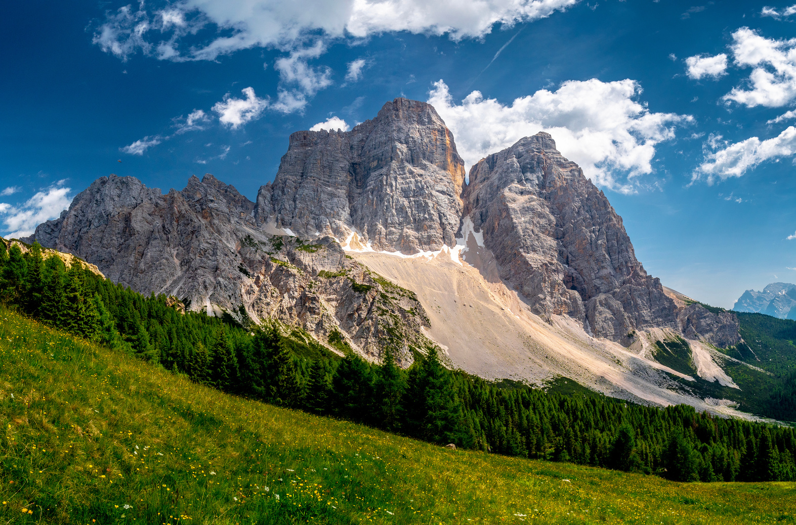
The traverse to the Rif. Flaiban-Pacherini takes place along the enchanting Truoi dai sclops, the so-called path of the gentians, which in a continuous succession of environments and glimpses goes beyond the Urtisiel fork, the wide plateau with the Valmenon cheese factory, the Canpuròs (the fairy-tale alpine meadow that the summer bloom makes a dreamy resting place), the Brica and Inferno forks, finally descending into the upper Val di Suola. Height difference in ascent 1000 meters, 6 hours, difficulty E. CAI trail marker no. 361 (to Valmenon), 369 (to Mus Pass), 362. Overnight stay at the Flaiban-Pacherini refuge.
- timer4 hours
- trending_up500 m
- trending_down0 m
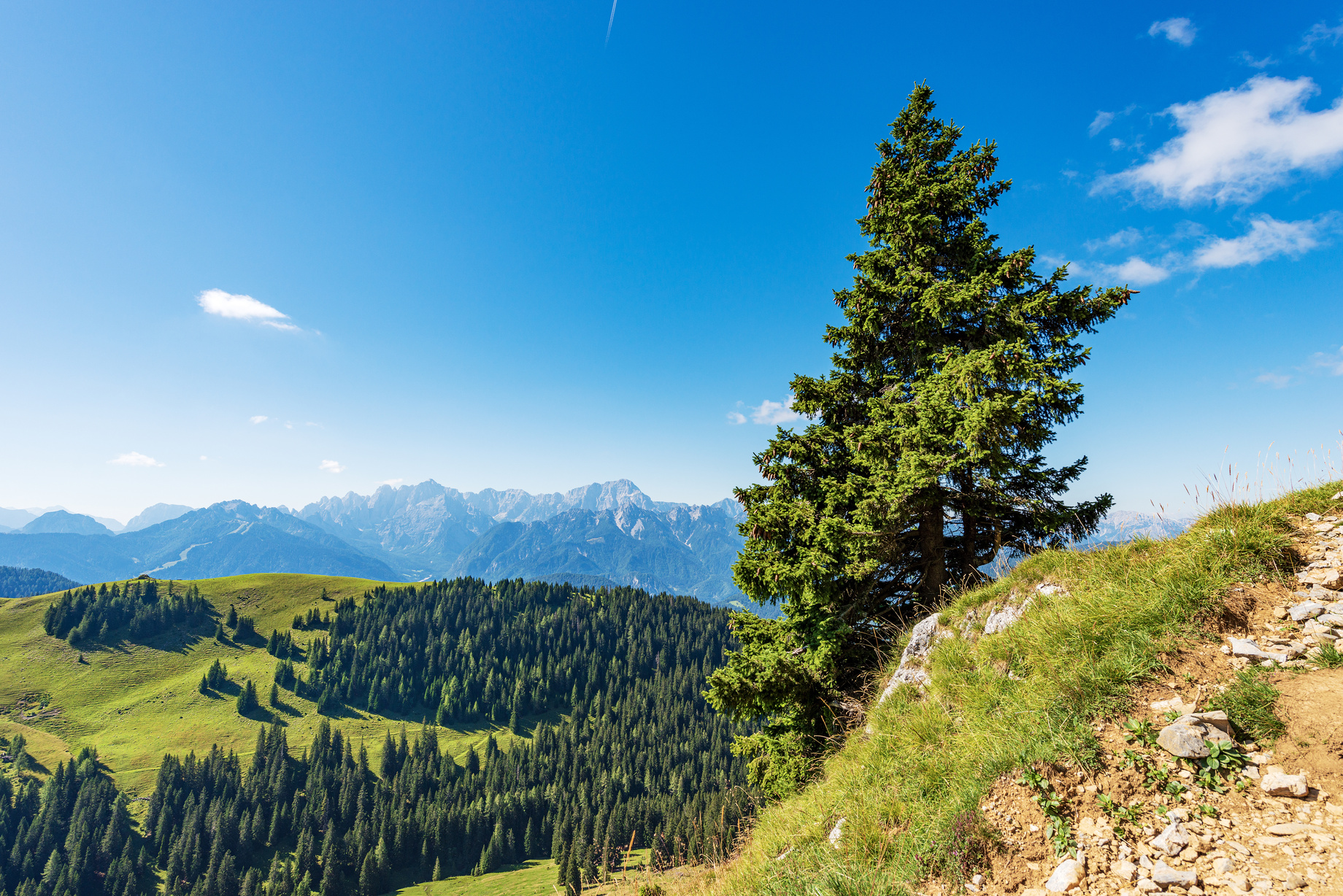
From the Refuge climb to the Suola Pass, cross the Rua Alta Fork, the Pramaggiore Fork (possible ascent to the summit of Mt. Pramaggiore m. 2478, the highest and most scenic in the group), then downhill through the bucolic Val dell’Inferno and the Postegae Valley to the Pordenone Ref. Elevation gain 800 meters, hours 5-6, difficulty EE (for the Pramaggiore summit short grade I passages). CAI markers 363, 366 and 362. Alternatively, an ascent to Mus Pass and a direct descent to Pordenone ref. via the Guerra and Postegae valleys is possible. Height difference in ascent 500 meters, 4 hours, difficulty E. CAI trail marker 362. From Mus Pass for experts possible digression to Torrione Comici for the daring Cassiopea ferrata (ferrata set required, calculate another 2 hours). Overnight stay at Rifugio Pordenone.
- timer5 hours
- trending_up1100 m
- trending_down0 m
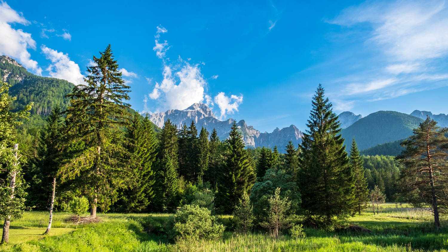
“The traverse to the Padova refuge is made along the famous Montanaia valley to the Montanaia fork, passing at the foot of the extraordinary Campanile di Val Montanaia, the “”cry of stone”” known to mountaineers all over Europe. Rather strenuous route but in great environment. Past the Forcella Montanaia pass, descend down the Val d’Arade to the large meadow clearing of the Rifugio Padova. Elevation gain 1100 meters, 5 hours, difficulty EE. CAI trail marker 353 to the Arade valley, then 342 and 346.
To avoid the steep descent from Forcella Montanaia, the alternative route is to ascend through the Monfalcon valley of Cimoliana and descend into Val d’Arade through Forcella Monfalcon di Forni, but giving up the opportunity to see the Campanile up close. CAI marker 349. Overnight stay at Padua hut.”
- timer4 hours
- trending_up700 m
- trending_down0 m
From the Padua Refuge, one enters the heart of the Monfalcons. Two routes are possible. The shortest route involves climbing comfortably to the Scodovacca Fork in a beautiful dolomite landscape and from there descending in a short distance to the Giaf Hut, either along the direct path or also taking a section of the Bianchi Ring. Height difference in ascent 700 meters, 3-4 hours, difficulty E. CAI trail marker 346. Those with experience and training can also climb Tacca del Cridola and the mountaineering Cridola Peak (m. 2581, grade II).
As an alternative, if we have not already crossed Forni’s Monfalcon Fork on the previous day, the spectacular traverse of two high forks, Forni’s Monfalcon Fork and Las Busas Fork, is proposed, passing that magical rocky amphitheater where the red metal structure of the Marchi-Granzotto bivouac rises in total solitude. Descent from Las Busas Fork on scree, very steep in the first section. Elevation gain 1100 meters, 6 hours, difficulty EE. CAI marker 342, then 354. Overnight stay at Rifugio Giaf.
- timer
- trending_up
- trending_down