The Pacific Border Route
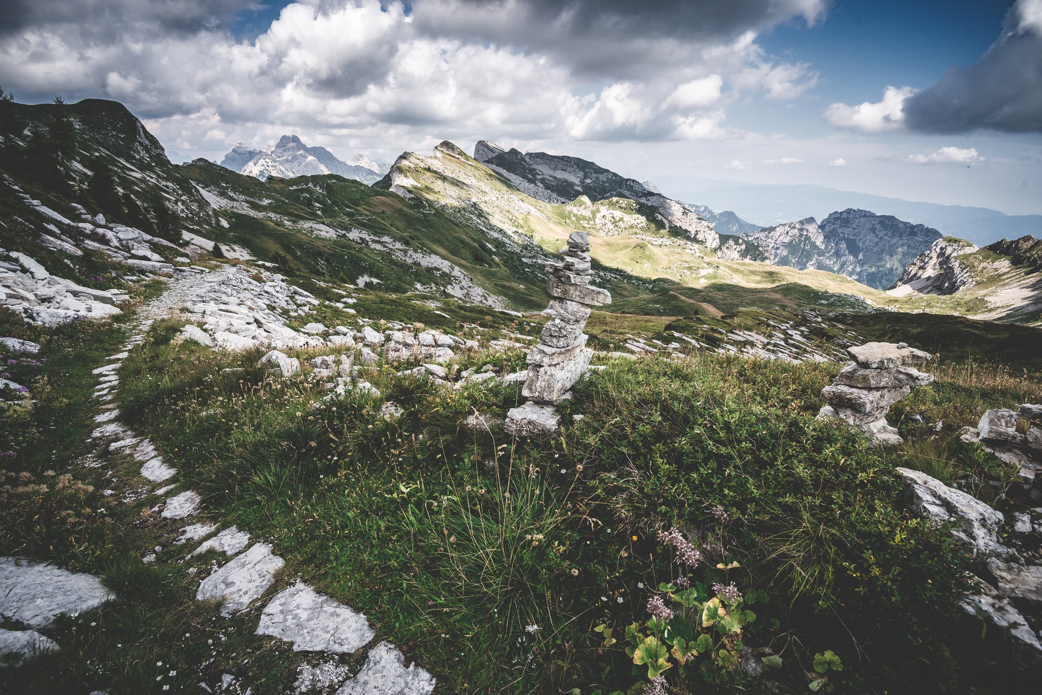
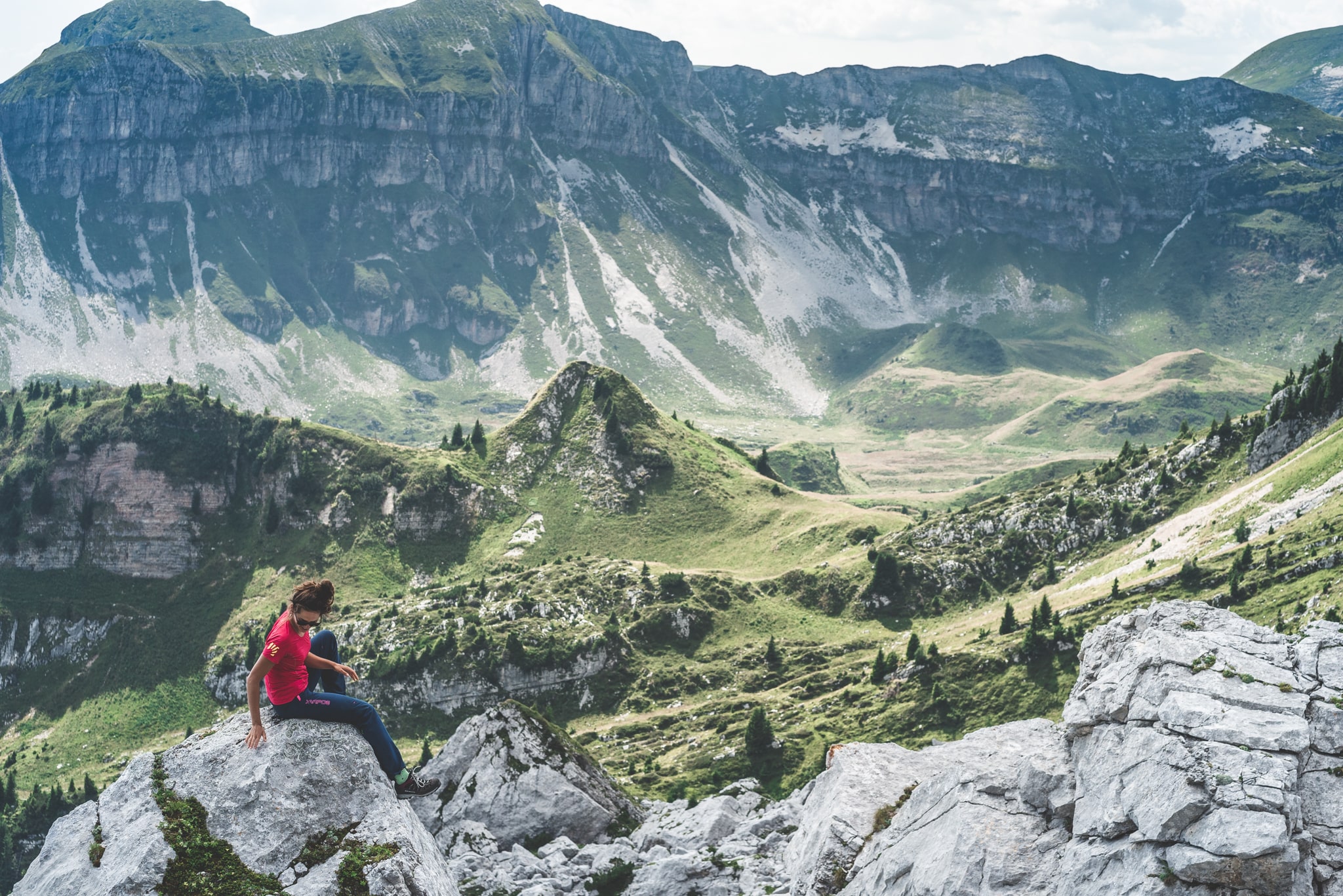
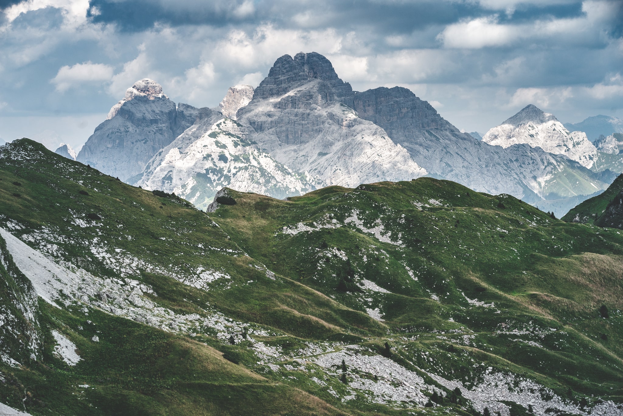
Often ignored in favor of the more famous Dolomites, the Vette Feltrine offer unique landscapes of great environmental value, where the eye can run to the heart of the Pale Mountains on one side and the Venetian Pre-Alps on the other. In addition to the sense of isolation and silence that the more touristy places have lost, walking the ridges and passes that mark the ancient border between the Republic of Venice and the Habsburg Empire means following the tracks of shepherds, smugglers, soldiers and botanists. A border that was always peaceful and, almost in spite of the idea of dividing, has always united the Feltrina valley with the Primiéro.
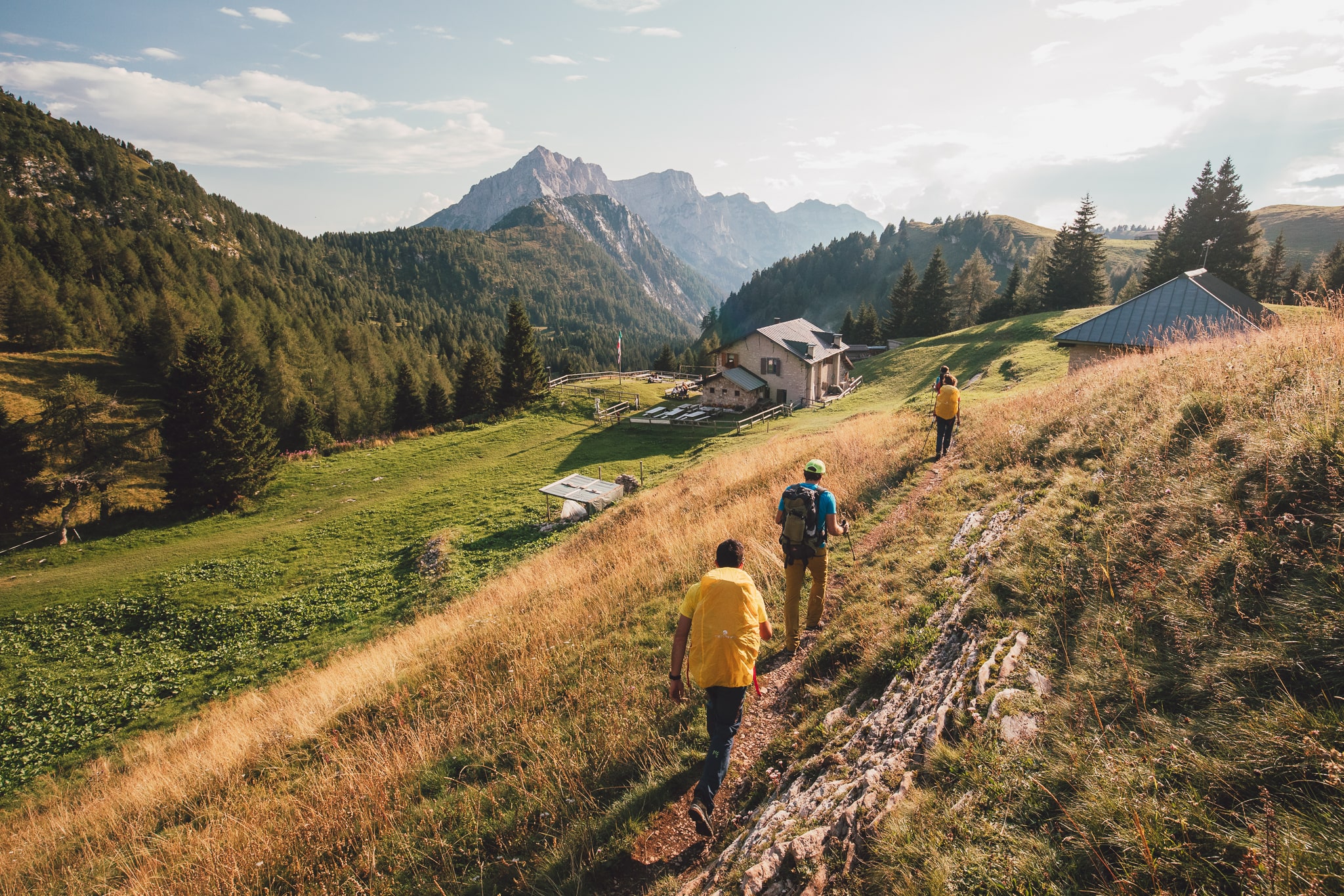
Depending on available time and physical preparedness, “The Pacific Border Route” can be accomplished in 3 or 4 days (in 3 days by combining the last two stages) leaning on CAI Feltre Section shelters for overnight stays. The route is designed as a loop and it is possible to start either from the southern (from Val Canzoi or Croce d’Aune Pass) or the northern side of the Vétte Feltrine (from Val Noana). The route here is described clockwise with departure and arrival in Val Noana. A detailed description of “The Pacific Border Route” is published in Skialper magazine (August-September 2017) by Teddy Soppelsa.
Recommended period: June to October.
Recommended equipment: full high-mountain clothing in layers, sturdy boots with carved soles; sleeping bag, trekking poles, large water bottle, crampons in case of icy stretches or if there is snow.
- timer3 hours and 30 minutes
- trending_up650 m
- trending_down0 m
Difficulty: E
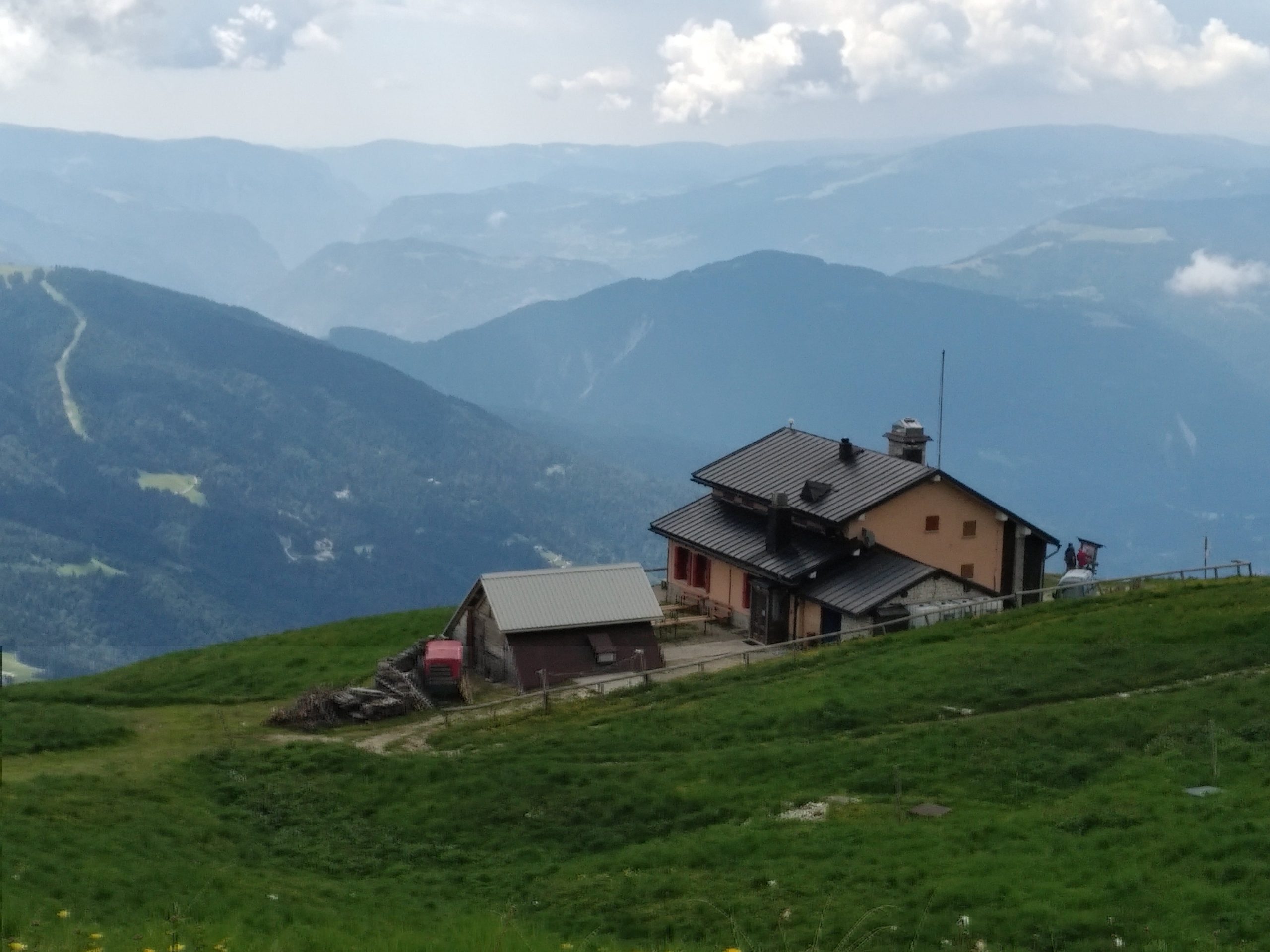
Trail 733: Casina Forestale (1135 m), Valpiana di Sotto (1124 m), Valpiana di Sopra (1166 m), Rifugio Fonteghi (1100 m); Trail 748: Bridge over Rio Nèva, Luz (1127 m); Abandon sent. 748 and then by forest road: la Vittoria (1132 m), Vaticano (1150 m), el Belo (1190 m); Trail 727 and then by forest road: Casera Nèva Seconda (1741 m), Val Fonda (1670 m), Rifugio Bruno Boz (1718 m).
- timer6 hours and 30 minutes
- trending_up1100 m
- trending_down0 m
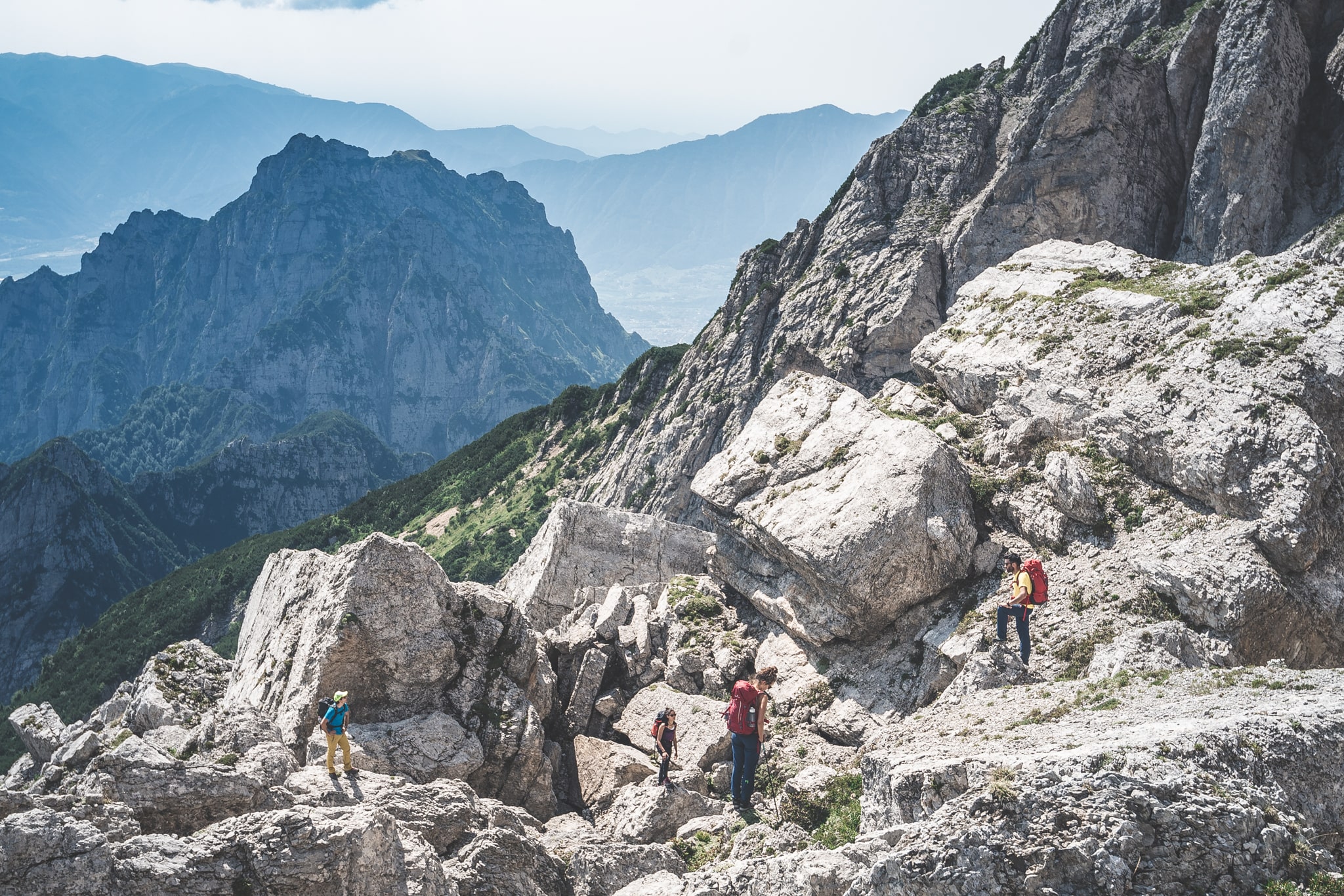
Difficulty: EE (short sections equipped with wire rope use handrail)
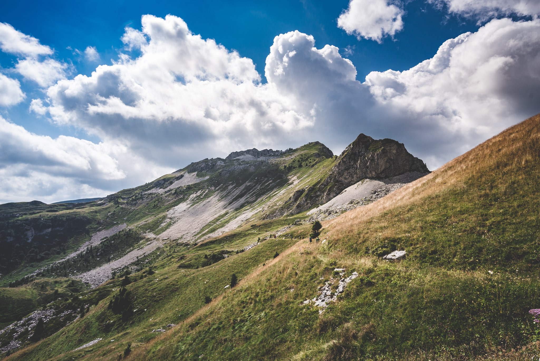
Trail 801 and Dolomite High Route no. 2: Rifugio Bruno Boz (1718 m), Passo Finestra (1766 m), Cresta del Monte Zoccarè Alto, spalla Sasso Scarnia (2150 m), Costa Alpe Ramezza (2040 m), Col Veriol (c. 2200 m); Piaza del Diàol (1900 m), Passo Piétena ((2094 m), Busa delle Vétte (1940 m), Passo Vétte Grandi (1999 m), Rifugio Giorgio Dal Piaz (1993 m).
- timer3 hours and 30 minutes
- trending_up350 m
- trending_down0 m
Difficulty: EE
Trail 817: Rifugio Giorgio Dal Piaz (1993 m), Vétte Grandi Pass (1999 m), Coston de le Vétte Grandi (2130 m), Sella delle Cavalàde (2060 m), Col di Luna (2295 m), Monte Pavióne (2335 m), Pavióne Pass (2059 m), Trail 736: Malga Agneròla (1577 m), Rifugio Vederna (1324 m).
- timer3 hours and 30 minutes
- trending_up100 m
- trending_down0 m
Difficulty: EE
Vederna Refuge (1324 m), Piàn Grant di Vederna (1254 m). Trail 733: junction and right junction in Trail 733 (1230 m), Col Camoz, Frate di Dentro (1421 m), Val di Stua, Pian de le Vederne, Pian Pomer (1100 m), Val Boal dei Canalini, Pian Signor (1043 m), Conche Carbonere (1133 m), Casina Forestale (1135 m).